New Jersey
- Product
- Qty in Cart
- Quantity
- Price
- Subtotal
-

Nearshore: Delaware Bay
$18.50An Nearshore chart 20-30 miles off the coast detailing the bay. Inshore chart 1-2 miles off coast. Chart is 19 x 26 inches, double sided, and laminated. Delaware...$18.50 -

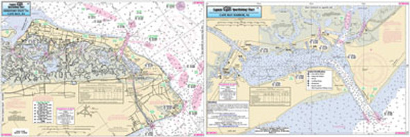
Small Boat and Kayak:Hereford Inlet to Cape May, NJ
$11.95Small Boat/Kayak Inshore fishing chart, double sided, laminated, 12 x 18 inches, New Jersey Detail chart of Hereford Inlet, Grassy Sound, Cape May Canal...$11.95 -

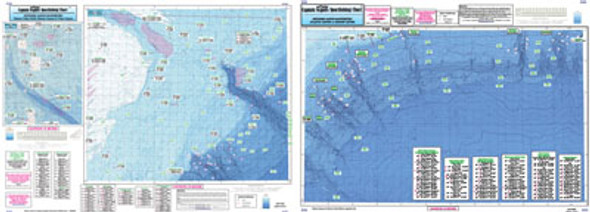
Offshore: Cape May, NJ to Cape Hatteras, NC
$18.50Offshore chart 90 to 100 miles off coast, Double sided, laminated, 19 x 26 inches. New Jersey to North Carolina An offshore canyon and ledge chart, Side A: from Cape May, NJ...$18.50 -

Small Boat and Kayak:Brigantine to Ocean City, NJ
$11.95Small Boat/Kayak Inshore fishing chart, double sided, laminated, 12 x 18 inches, New Jersey Detail chart of Brigantine, Atlantic City and the back bays...$11.95 -

Inshore: Hudson River, NY
$18.50An inshore chart. Chart is 19 x 26 inches, double sided, and laminated. Hudson River An inshore chart detailing the River. Detail of Hudson River from New York City to Troy,...$18.50 -

Offshore: Canyon chart off MA, RI, CT, NY
$18.50Offshore - 90 to 100 miles off coast, Double sided, laminated, 19 x 26 inches. MA, RI, CT, & NY. Side A: from Nantucket Shoals to mid Long Island, NY...$18.50 -

Bathymetric Nearshore Block Is. Shelf and Coastal NY and NJ
$18.50Bathymetric - color contoured by depth - Double sided, laminated, 19 x 26 inches, Nearshore, RI, CT, NY, NJ area Nearshore Bathymetric chart 20 -...$18.50 -

Bathymetric Atlantis to Tom's Canyon
$18.50Bathymetric - color contoured by depth - Double sided, laminated, 19 x 26 inches, Offshore, MA, RI, CT, NY, NJ area New canyons discovered and covered on this bathymetric chart. Detail of Hudson Canyon and...$18.50