Capt. Segull Nautical Charts
Captain Segull's Sport Fishing Charts cover the North American coastline from the Penobscot Bay, Maine south to Louisiana and Texas, including Bahamas and Cuba and into the Gulf of Mexico!!! Reprints of charts continue being done.
Captain Segull's Charts are designed for the serious sport fisherman. They show you fishing spots, that will help you catch fish. All charts are laminated, waterproof and in full color. Average Large chart size is 19" X 26", small boat/kayak charts 12" x 18". Charts highlight: latitude and longitude (GPS), Loran lines, contour lines, shore services such as fuel docks, loading ramps, kayak launches, pump-out stations and restaurants. Also highlighted are fishing holes with local names, coordinates of buoys, inlets, reefs, rigs and wrecks. If you want to know where to catch fish, get your own Captain Segull's Sport Fishing Chart. We have offshore charts, inshore charts, nearshore charts, bathymetric charts (color contoured by depth), species identification charts and new small boat/kayak charts. Please click on your geographic location for charts in your area.
- Product
- Qty in Cart
- Quantity
- Price
- Subtotal
-

Inshore: Charleston Harbor, South Carolina
$18.50An inshore chart 1-2 miles off the coast detailing the bay. Chart is 19 x 26 inches double sided and laminated. Charleston Harbor, SC An inshore chart...$18.50 -


ICW Booklet: Casino Creek to Beaufort, SC
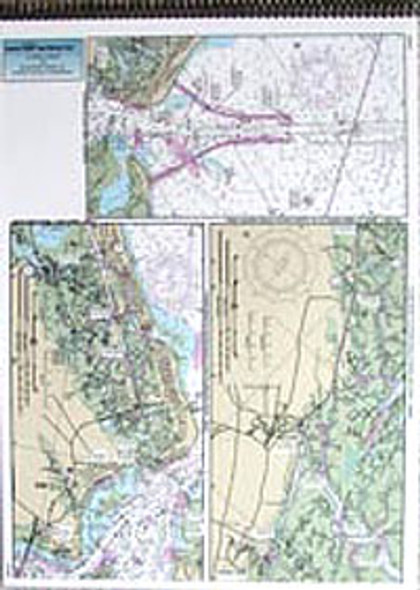
$18.50ICW 3 page bound booklet, double sided, laminated 13 x 18 inches, South Carolina ICW Series: Follows the Intra-Coastal Waterway from Casino Creek to Beaufort...$18.50 -

ICW Booklet: Beaufort, SC to St. Simon Sound, GA
$18.50ICW 3 page bound booklet, double sided, laminated 13 x 18 inches, South Carolina and Georgia ICW Series runs the Intra-coastal waterway from Beaufort...$18.50 -

ICW Booklet: Neuse River to Myrtle Grove Sound, NC
$18.50ICW 3 page bound booklet, double sided, laminated 13 x 18 inches, North Carolina ICW Series from Neuse River to Adams Creek through to Beaufort Inlet...$18.50 -

Small Boat/Kayak: Morehead to Cape Lookout, NC
$11.95Small Boat/Kayak Inshore fishing chart, double sided, laminated, 12 x 18 inches, North Carolina Detail inshore of the Morehead City, Bogue Sound,...$11.95 -

ICW Booklet: Myrtle Grove Sound, NC to Casino Creek, SC
$18.50ICW 3 page bound booklet, double sided, laminated 13 x 18 inches. North Carolina and South Carolina ICW series from Myrtle Grove to Casino Creek, SC. This is a three page flip...$18.50 -

Nearshore: Off Coastal North Carolina (Cape Lookout)
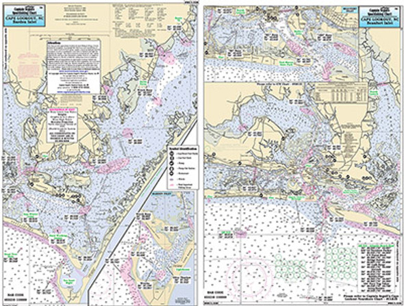
$18.50Nearshore 20 - 30 miles off. Chart is 19 x 26 inches, double sided, and laminated. Cape Lookout area, NC Side A: Portsmouth Island to Beaufort, NC (Cape...$18.50 -

Offshore: Cape Hatteras, NC to Cape Canaveral, FL
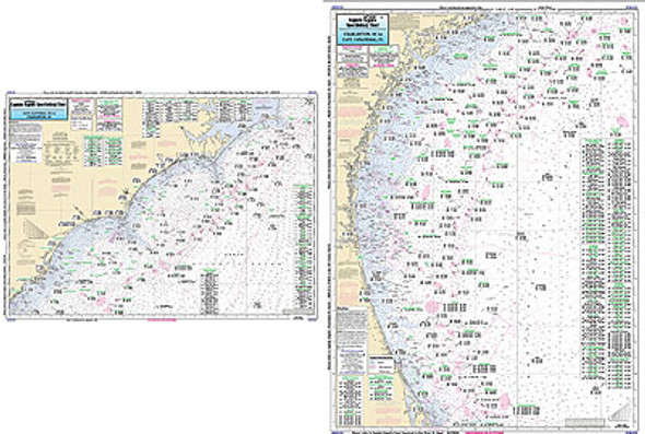
$18.50Offshore chart 90 to 100 miles off coast, Double sided, laminated, 19 x 26 inches. North Carolina to Florida Offshore Canyon and Ledge chart, side A:...$18.50 -

Nearshore: Off Coastal North Carolina (Cape Fear)
$18.50Nearshore 20 - 30 miles off. Chart is 19 x 26 inches double sided and laminated. Cape Fear area, NC Side A: New River, NC to Cape Fear, NC, Side B: Cape...$18.50 -

ICW Booklet: Albemarle Sound to Neuse River, NC
$18.50ICW 3 page bound booklet, double sided, laminated 13 x 18 inches, North Carolina Intracoastal Waterway series from Albemarle Sound through Alligator...$18.50 -

Nearshore: Off Coastal North Carolina (Albemarle Sound)
$18.50Nearshore 20 - 30 miles off. Chart is 19 x 26 inches double sided and laminated Albemarle, NC Side A: Currituck Beach Light to Rodanthe, NC, Wimble Shoals (Oregon Inlet)...$18.50 -

Small Boat and Kayak: Cape Henry, Lynnhaven Bay to Hampton Roads, VA
$11.95Small Boat/Kayak Inshore fishing chart, double sided, laminated, 12 x 18 inches, Virginia Detailed inshore chart from Cape Henry with Lynnhaven Bay to Hampton...$11.95