Description
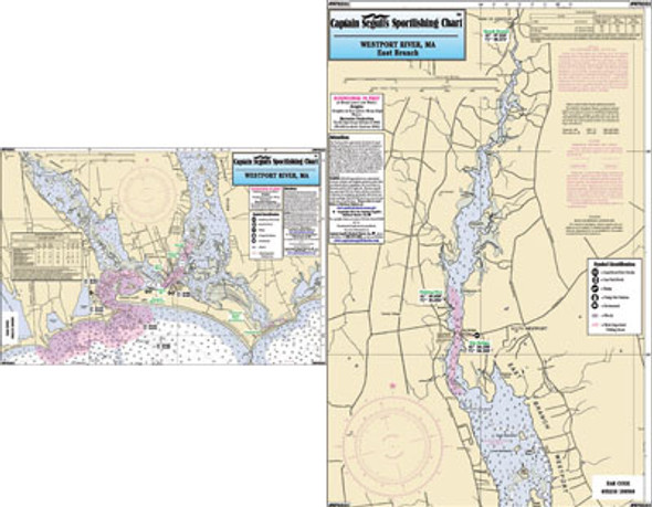
Small Boat/Kayak Inshore fishing chart, double sided, laminated, 12 x 18 inches, Connecticut
Detail of the mouth of the Connecticut River out to Long
Sand Shoal. Opposite side north to Eustasia Island, Lyme, CT. Please
refer to our nearshore, offshore, bathymetric and other small boat/kayak
charts in this area.


