Description
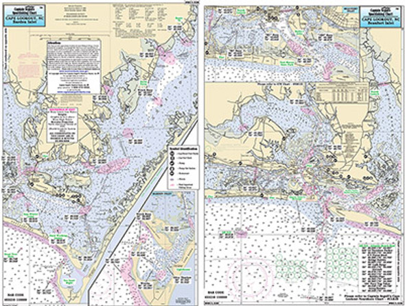
Small Boat/Kayak Inshore fishing chart, double sided, laminated, 12 x 18 inches, Virginia
Detailed inshore chart from Cobb Island south to
Fishermans Island, other side from Fishermans Island north to
Cherrystone Inlet. Detail fo Kings Creek. All charts include GPS
coordinates, wrecks, reefs, shoals, fishing areas, amenities and
restrictions. Please refer to our nearshore, offshore and other small
boat/kayak charts in this area.


