Description
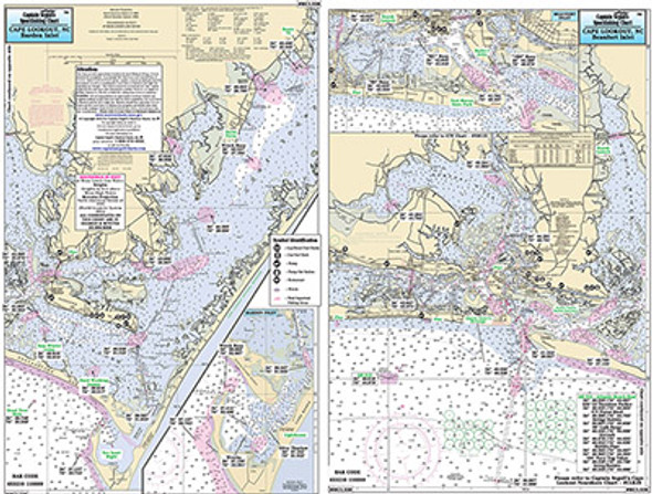
Small Boat/Kayak Inshore fishing chart, double sided, laminated, 12 x 18 inches, Virginia
Detailed inshore chart from Cape Henry with Lynnhaven Bay
to Hampton Roads & Flats. Norfolk, Newport News, Hampton, Virginia.
All charts include GPS coordinates, wrecks, reefs, shoals, fishing
areas, amenities and restrictions. Please refer to our inshore,
nearshore and offshore charts in this area.


