Description
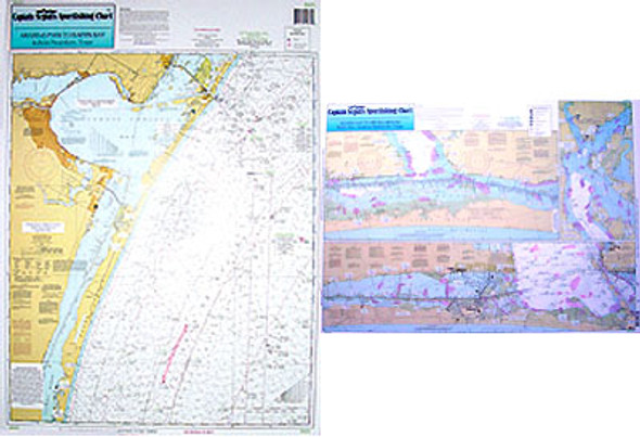
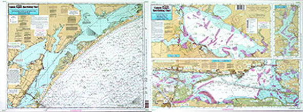
One side of the chart cover 20 - 30 miles off the coast the other side of the chart covers 1 -2 miles with details of the bays. Chart is 19 x 26 inches, double sided, and laminated, Texas Coast line.
Side A: Nearshore chart from Aransas Pass to Baffin Bay. Side B: Inshore detail of Corpus Christi Bay. All charts include GPS coordinates, wrecks, rigs, reefs, shoals, fishing areas, amenities and restrictions. Please refer to our offshore chart in this area


