Description
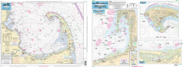
Nearshore 20-30: and an Inshore 1 - 2 Miles off the coast, double sided,
laminated, 19 x 26 inches, from the Cape Cod Canal to Provincetown, MA
An inshore chart 1-2 miles off the coast detailing the
bays. Side A: Detail of Sesuit, Barnstable, Welfleet and Provincetown
Harbors. Side B: Nearshore: Entire Cape Cod Bay. Cape Cod Canal is on
the Buzzards Bay chart. All charts include GPS coordinates, wrecks,
reefs, shoals, fishing areas, amenities and restrictions. Please refer
to our nearshore, offshore and bathymetric charts.


