Description
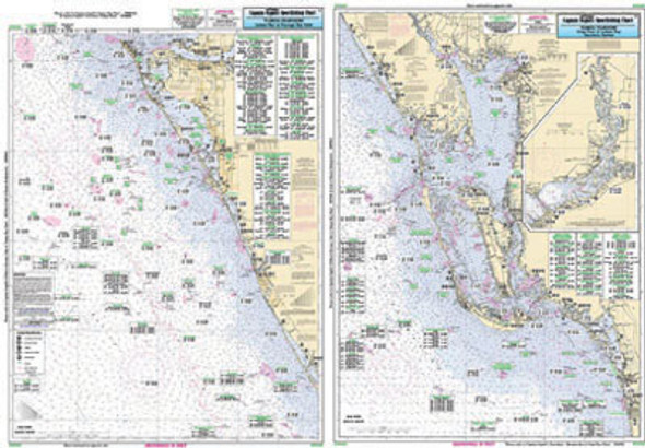
Nearshore 20 - 30 miles off. Chart is 19 x 26 inches double sided and laminated Florida coastline
Side A: from Rock Point to Crooked River Apalachee Bay.
Side B: from St George Sound to west of St Joseph's Peninsula. All
charts include wrecks, reefs, shoals, fishing areas, rigs, amenities and
restrictions. Also refer to our inshore, nearshore, offshore and small
boat/kayak charts.


