Massachusetts
- Product
- Qty in Cart
- Quantity
- Price
- Subtotal
-

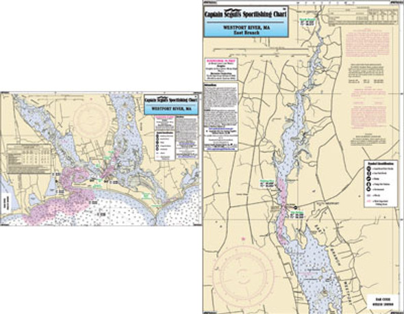
Small Boat/Kayak: Westport River, MA
$11.95Small Boat/Kayak Inshore fishing chart, double sided, laminated, 12 x 18 inches, Massachusetts Detail of the both forks of the Westport River Please refer to our...$11.95 -

Nearshore: Harbors of Cape Cod Bay, Massachusetts
$18.50Nearshore 20-30: and an Inshore 1 - 2 Miles off the coast, double sided, laminated, 19 x 26 inches, from the Cape Cod Canal to Provincetown, MA An inshore chart 1-2 miles off the coast detailing the bays. Side A: Detail of Sesuit,...$18.50 -

Inshore: South Coast of Cape Cod, MA and Monomy
$18.50An inshore chart 1-2 miles off the coast, detailing the bays. Chart is 19 x 26 inches, double sided, and laminated South Coast of Cape Cod, plus Stage...$18.50 -

Small Boat and Kayak: Boston Harbor to Hull Bay, MA
$11.95Small Boat/Kayak Inshore fishing chart, double sided, laminated, 12 x 18 inches, Massachusetts Detail of the Boston Harbor from Winthrop Highlands to...$11.95 -

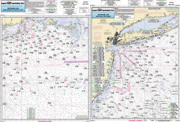
Offshore: Canyon chart off MA, RI, CT, NY, NJ
$18.50Offshore chart off MA, RI, CT, NY, & NJ, 90 to 100 miles off coast, Double sided, laminated, 19 x 26 inches. Side A: Nantucket Shoals to tip of...$18.50 -


Offshore: Nantucket Shoals and Georges Bank, MA
$18.50Offshore chart, 90 to 100 miles off coast, Double sided, laminated, 19 x 26 inches. Massachusetts coastline. Offshore canyon chart, side A: from west...$18.50 -


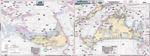
Inshore: Marthas Vineyard and Nantucket, MA
$18.50An inshore chart 1-2 miles off the coast detailing the bays Chart is 19 x 26 inches, double sided, and laminated. Massachusetts Details both of the...$18.50 -

Offshore: Canyon chart off MA, RI, CT, NY
$18.50Offshore - 90 to 100 miles off coast, Double sided, laminated, 19 x 26 inches. MA, RI, CT, & NY. Side A: from Nantucket Shoals to mid Long Island, NY...$18.50 -


Offshore: Gulf of Maine, Massachusetts Bay..
$18.50Offshore chart off 90 to 100 miles off coast, double sided, laminated, 19 x 26 inches, Maine, New Hampshire, and Massachusetts, ...$18.50 -

Inshore: Cohasset Harbor to Manomet, MA
$18.50Inshore chart 1 to 2 miles off the coast double sided, laminated, 19 x 26 inches, from Cohasset Harbor to south of Plymouth Harbor, MA An inshore chart...$18.50 -

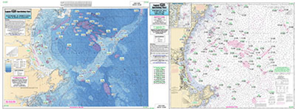
Bathymetric Eastern Long Island Sound and Nearshore CT, RI, MA
$18.50Bathymetric - color contoured by depth - Double sided, laminated, 19 x 26 inches, Nearshore, RI, CT& NY area Nearshore and Inshore Bathymetric...$18.50 -


Bathymetric Cape Ann to Jeffreys Ledge.
$18.50Bathymetric - color coded by depth - double sided, laminated, 19 x 26 inches, North Shore, Massachusetts ...$18.50