Maine
- Product
- Qty in Cart
- Quantity
- Price
- Subtotal
-


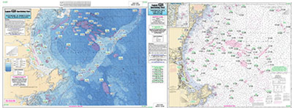
Offshore: Gulf of Maine, Massachusetts Bay..
$18.50Offshore chart off 90 to 100 miles off coast, double sided, laminated, 19 x 26 inches, Maine, New Hampshire, and Massachusetts, ...$18.50 -


Bathymetric Cape Ann to Jeffreys Ledge.
$18.50Bathymetric - color coded by depth - double sided, laminated, 19 x 26 inches, North Shore, Massachusetts ...$18.50 -

Bathymetric Massachusetts Bay, Nantucket and Georges Bank
$18.50Bathymetric - color contoured by depth - Double sided, laminated, 19 x 26 inches, Mass Bay, Nantucket Georges Bank area Nearshore Bathymetric Chart...$18.50 -


Bathymetric Massachusetts and Cashes Ledge
$18.50Bathymetric - color contoured by depth - double sided, laminated, 19 x 26 inches, Massachusetts Bay area Nearshore Bathymetric Chart side A:...$18.50 -


Small Boat/Kayak: Portsmouth Harbor, NH and Great Bay
$11.95Small Boat/Kayak Inshore fishing chart, New Hampshire and Maine Detail of Portsmouth Harbor, NH and Kittery, Maine, other side detail of Great Bay and...$11.95