Description
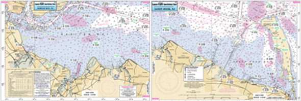
An inshore chart 1-2 miles off the coast detailing the bays. Chart is 19 x
26 inches, double sided, and laminated. New York and New Jersey
All of NY Harbor to mouth of Hudson River south to Raritan
Bay, NJ All charts include GPS coordinates, wrecks, reefs, shoals,
fishing areas, amenities and restrictions. Also refer to nearshore,
offshore, bathymetric and small boat/kayak charts in this area.


