Description
|
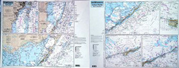
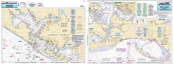
An inshore chart 1-2 miles off the coast detailing the bay. Chart is 19 x 26 inches, double sided, and laminated. Upper Florida Keys. Detailing the Keys from Biscayne Bay to Marathon, including Florida Bay. Side A: from Miami to Key Largo, with all of Biscayne Bay and upper Florida Bay. Side B: from Key Largo to Marathon Key. All charts include wrecks, reefs, shoals, fishing areas, amenities and restrictions. Also refer to our nearshore, offshore and small boat/kayak charts in this area. |
|


