Description
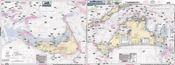
Inshore charts 1 -2 miles off the coast, double sided, laminated, 19 x 26 inches, detail of Boston Harbor, MA
Boston Harbor and Islands from Winthrop to Minot, MA. All
charts include GPS coordinates, wrecks, reefs, shoals, fishing areas,
amenities and restrictions.


